Sun'iy intellekt yordamida tuproq monitoringi
Сунъий интеллект технологияларидан фойдаланган ҳолда тупроқ ресурсларини тезкор, аниқ ва самарали таҳлил қилиш, баҳолаш ва мониторинг қилиш бўйича дастурий маҳсулот
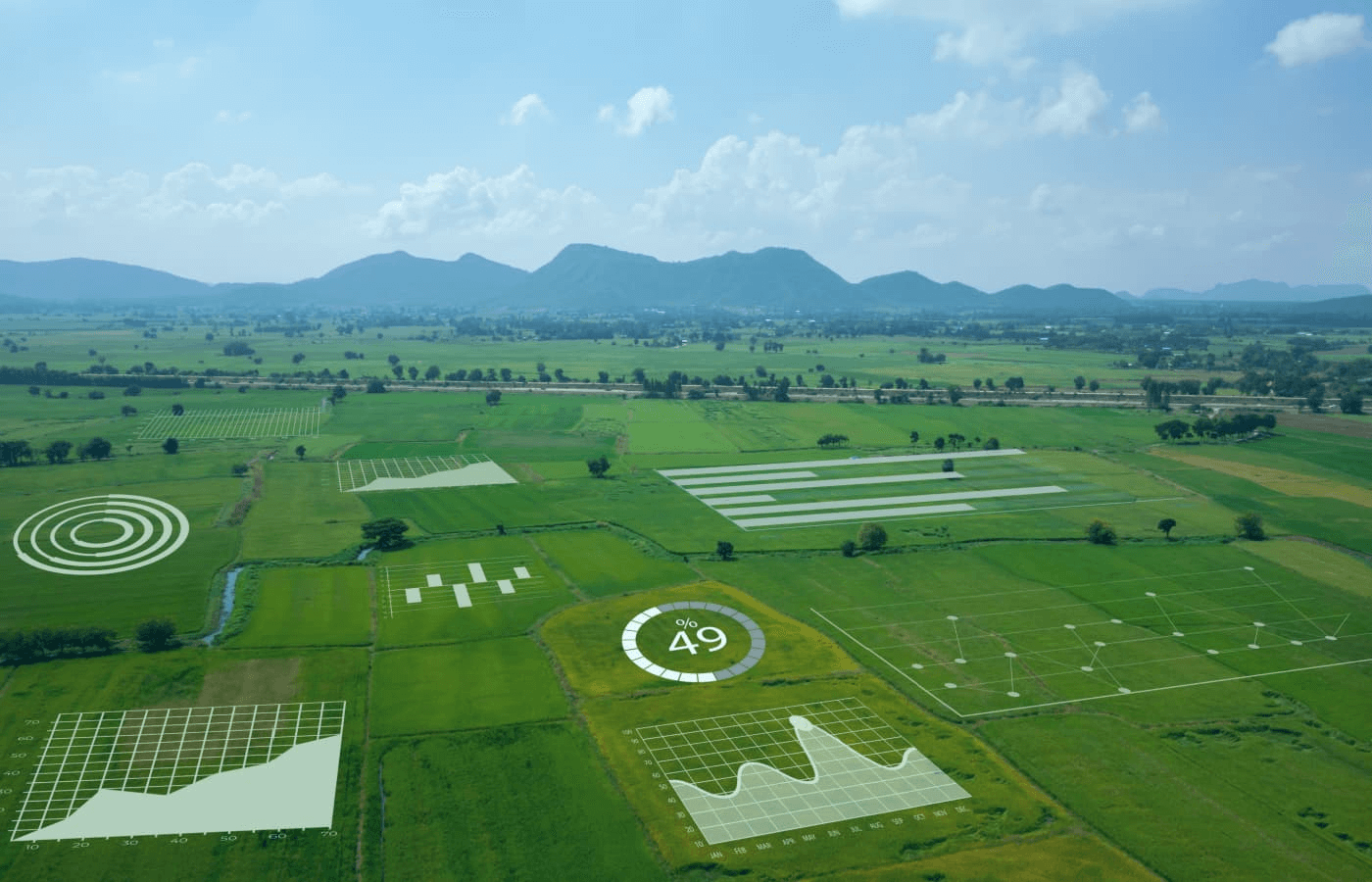
Interactive maps
Monitor soil health across districts in real time
Интеллектуал моделлар ёрдамида тупроқ мониторинги
UZSoilAI мавжуд тупроқ маълумотларини сунъий интеллект технологиялари асосида таҳлил қилиш ва интеллектуал моделлар ишлаб чиқиш асосида тупроқ ҳолатини башорат қилиш ҳамда тегишли тавсиялар бериш мақсадида ишлаб чиқилган.
Soil parameters
Real-time prediction of humus, phosphorus, potassium, salinity and soil mechanics
Fertilizer recommendations
Calculate fertilizer amounts for cotton and wheat based on soil classification
Time series monitoring
Monthly, seasonal and yearly soil condition tracking using satellite imagery
Soil leaching standards
Define leaching standards and periods based on salinity and mechanical composition
Weather integration
Daily and hourly weather data via OpenWeatherMap API for each district
Map export
Export contour maps with color-coded soil data in PNG format
How it works
Upload field data
Field soil samples are uploaded with GPS coordinates and laboratory values through the admin panel
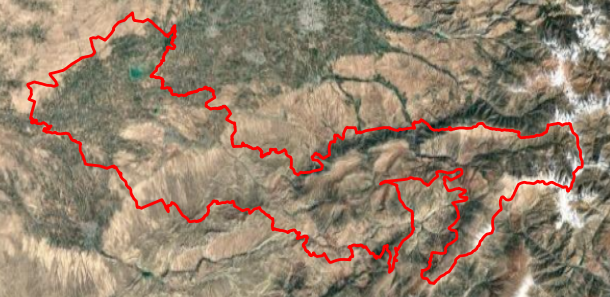
Satellite imagery
Sentinel-2 spectral bands and vegetation indices (NDVI, EVI, NDWI) are fetched via Google Earth Engine
AI prediction
Random Forest Classifier (200 trees) is trained on combined field + satellite data and predicts soil class for every contour monthly
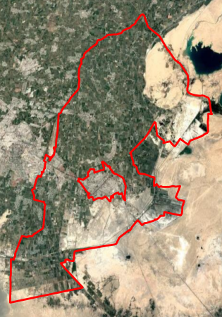
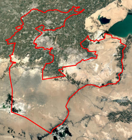
Interactive map
Results are displayed on a color-coded Leaflet map with fertilizer recommendations for each field contour